무료 체험으로 이용 가능 Noordoostpolder netherlands topographic humanitarian administrative area of on a style map 벡터 일러스트 noordoostpolder netherlands topographic humanitarian administrative area of on a style map
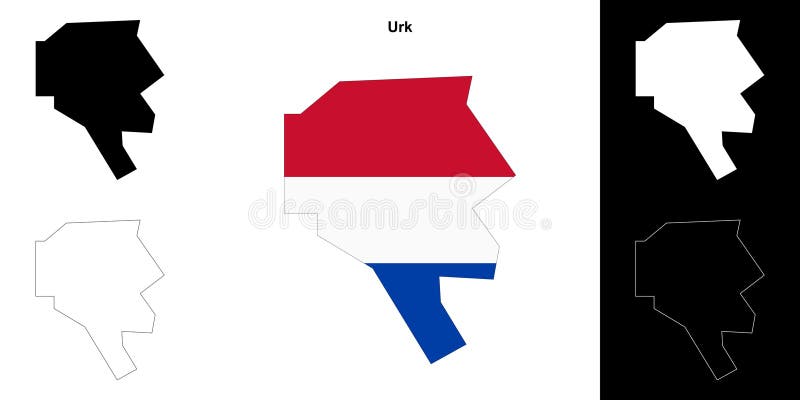
무료 체험으로 이용 가능 Urk blank outline map set urk outline map 로열티 프리 일러스트 urk blank outline map set urk outline map
무료 체험으로 이용 가능 Urk municipality kingdom of the netherlands holland flevoland province map vector illustration scribble sketch 벡터 일러스트 urk municipality kingdom of the netherlands holland flevoland province map vector illustration scribble sketch
무료 체험으로 이용 가능 Urk municipality kingdom of the netherlands holland flevoland province map vector illustration scribble sketch 스톡 일러스트 urk municipality kingdom of the netherlands holland flevoland province map vector illustration scribble sketch
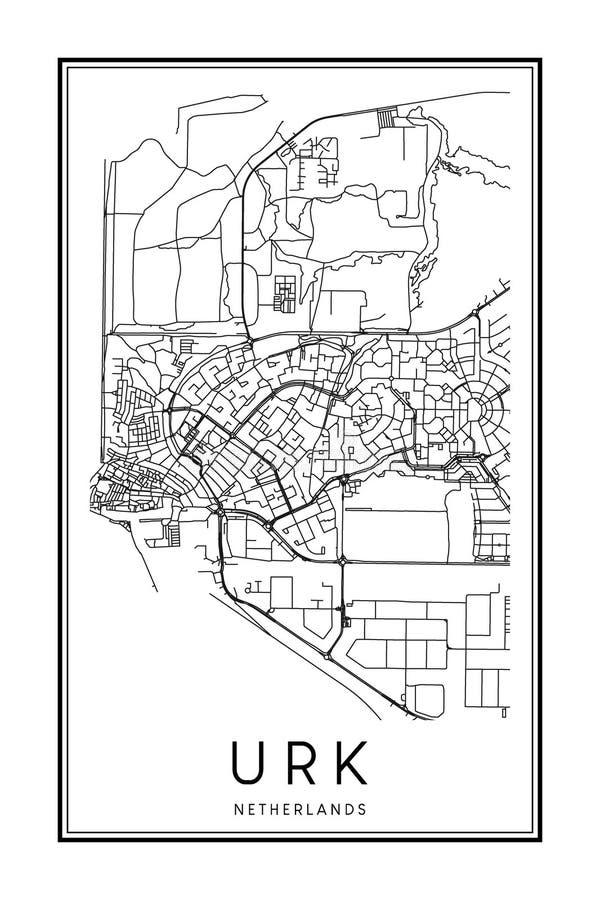
무료 체험으로 이용 가능 Poster print road map of the dutch town urk printable downtown city on solid white background with name 로열티 프리 일러스트 poster print road map of the dutch town urk printable downtown city on solid white background with name
무료 체험으로 이용 가능 청어와 대구 문양이 있는 어크 깃발, 네덜란드의 어크 깃발, 전통적인 네덜란드 어업 공동체 배너 스톡 일러스트 청어와 대구 문양이 있는 어크 깃발, 네덜란드의 어크 깃발, 전통적인 네덜란드 어업 공동체 배너
무료 체험으로 이용 가능 Fryslan outlined netherlands physical administrative area of on a colored elevation map 스톡 일러스트 fryslan outlined netherlands physical administrative area of on a colored elevation map
무료 체험으로 이용 가능 Fryslân outlined netherlands grayscale administrative area of on a elevation map 스톡 일러스트 fryslân outlined netherlands grayscale administrative area of on a elevation map
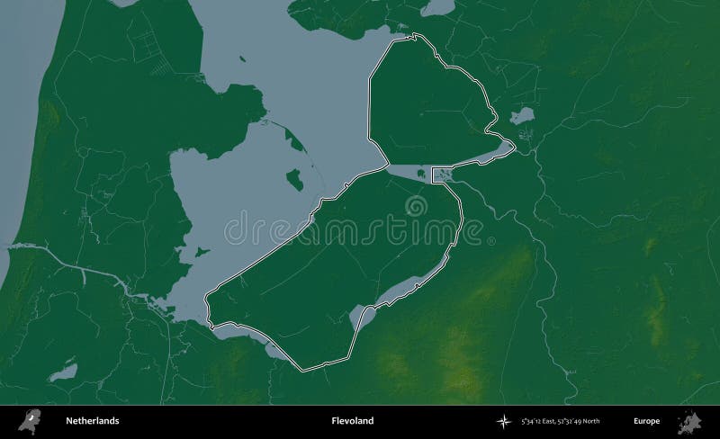
무료 체험으로 이용 가능 Flevoland outlined netherlands physical administrative area of on a colored elevation map 로열티 프리 일러스트 flevoland outlined netherlands physical administrative area of on a colored elevation map
무료 체험으로 이용 가능 Flevoland outlined netherlands grayscale administrative area of on a elevation map 스톡 일러스트 flevoland outlined netherlands grayscale administrative area of on a elevation map
무료 체험으로 이용 가능 Fryslan highlighted netherlands physical administrative area of and outlined on a darkened colored elevation map 로열티 프리 일러스트 fryslan highlighted netherlands physical administrative area of and outlined on a darkened colored elevation map
무료 체험으로 이용 가능 Fryslân highlighted netherlands grayscale administrative area of and outlined on a darkened elevation map 스톡 일러스트 fryslân highlighted netherlands grayscale administrative area of and outlined on a darkened elevation map
무료 체험으로 이용 가능 Flevoland highlighted netherlands physical administrative area of and outlined on a darkened colored elevation map 벡터 일러스트 flevoland highlighted netherlands physical administrative area of and outlined on a darkened colored elevation map
무료 체험으로 이용 가능 Flevoland highlighted netherlands grayscale administrative area of and outlined on a darkened elevation map 스톡 일러스트 flevoland highlighted netherlands grayscale administrative area of and outlined on a darkened elevation map
무료 체험으로 이용 가능 Fryslan netherlands isolated on white physical administrative area of a colored elevation map 로열티 프리 일러스트 fryslan netherlands isolated on white physical administrative area of a colored elevation map
무료 체험으로 이용 가능 Fryslân netherlands isolated on white grayscale administrative area of a elevation map 벡터 일러스트 fryslân netherlands isolated on white grayscale administrative area of a elevation map
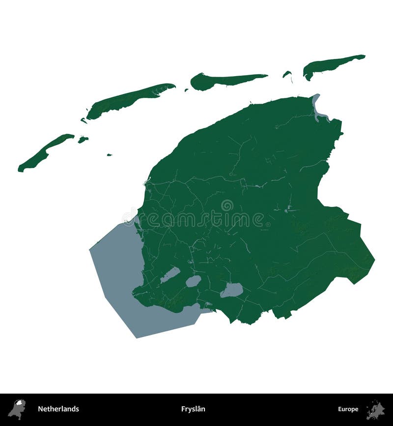
무료 체험으로 이용 가능 Flevoland netherlands isolated on white physical administrative area of a colored elevation map 스톡 일러스트 flevoland netherlands isolated on white physical administrative area of a colored elevation map
무료 체험으로 이용 가능 Flevoland netherlands isolated on white grayscale administrative area of a elevation map 로열티 프리 일러스트 flevoland netherlands isolated on white grayscale administrative area of a elevation map
무료 체험으로 이용 가능 Flevoland outlined netherlands topographic humanitarian administrative area of on a style map 스톡 일러스트 flevoland outlined netherlands topographic humanitarian administrative area of on a style map
무료 체험으로 이용 가능 Flevoland highlighted netherlands topographic humanitarian administrative area of and outlined on a darkened style map 스톡 일러스트 flevoland highlighted netherlands topographic humanitarian administrative area of and outlined on a darkened style map
무료 체험으로 이용 가능 Noordoostpolder outlined netherlands topographic humanitarian administrative area of on a style map 벡터 일러스트 noordoostpolder outlined netherlands topographic humanitarian administrative area of on a style map
무료 체험으로 이용 가능 Noordoostpolder highlighted netherlands topographic humanitarian administrative area of and outlined on a darkened style map 스톡 일러스트 noordoostpolder highlighted netherlands topographic humanitarian administrative area of and outlined on a darkened style map
무료 체험으로 이용 가능 Flevoland netherlands isolated on white topographic humanitarian administrative area of a style map 로열티 프리 일러스트 flevoland netherlands isolated on white topographic humanitarian administrative area of a style map
무료 체험으로 이용 가능 Noordoostpolder netherlands isolated on white topographic humanitarian administrative area of a style map 스톡 일러스트 noordoostpolder netherlands isolated on white topographic humanitarian administrative area of a style map
무료 체험으로 이용 가능 Fryslan outlined netherlands topographic humanitarian administrative area of on a style map 로열티 프리 일러스트 fryslan outlined netherlands topographic humanitarian administrative area of on a style map
무료 체험으로 이용 가능 Fryslan highlighted netherlands topographic humanitarian administrative area of and outlined on a darkened style map 벡터 일러스트 fryslan highlighted netherlands topographic humanitarian administrative area of and outlined on a darkened style map
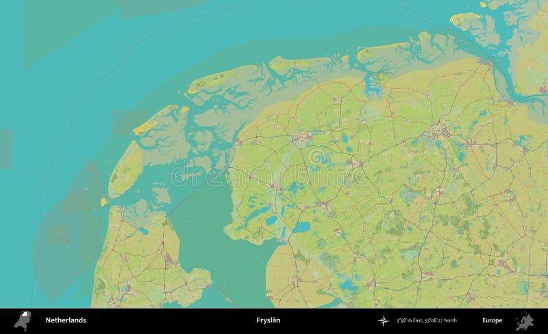
무료 체험으로 이용 가능 Fryslan netherlands topographic humanitarian administrative area of on a style map 스톡 일러스트 fryslan netherlands topographic humanitarian administrative area of on a style map
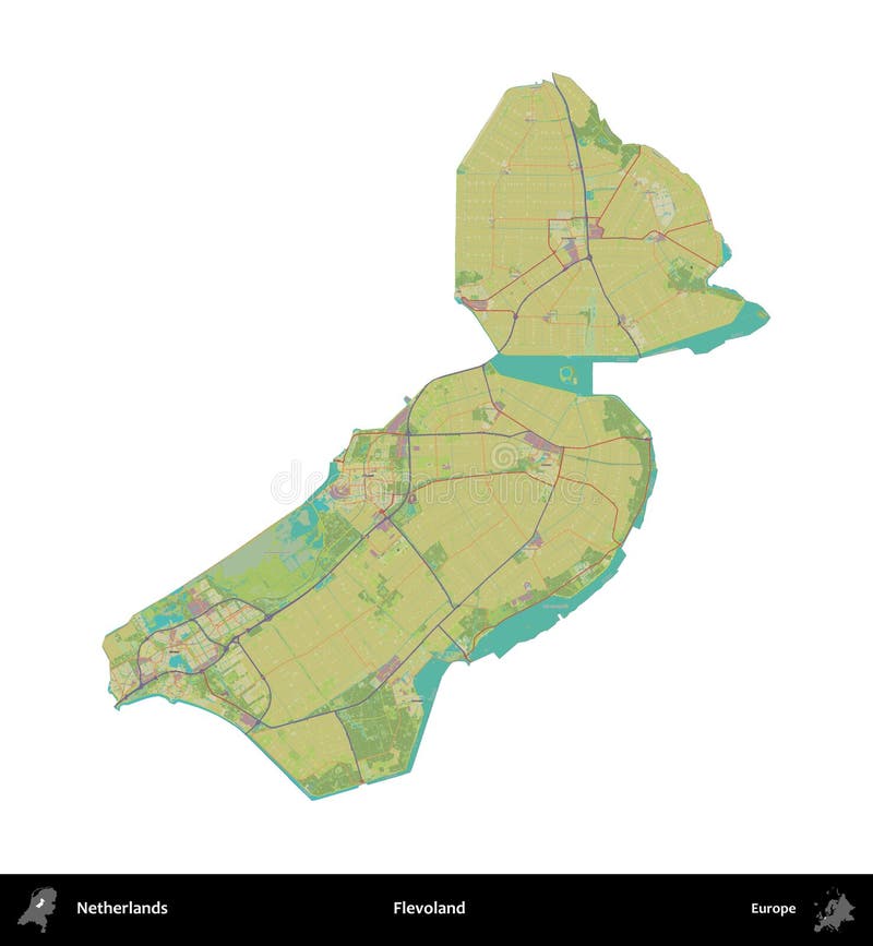
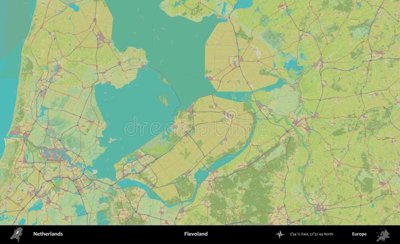
무료 체험으로 이용 가능 Flevoland netherlands topographic humanitarian administrative area of on a style map 로열티 프리 일러스트 flevoland netherlands topographic humanitarian administrative area of on a style map
무료 체험으로 이용 가능 Fryslan netherlands isolated on white topographic humanitarian administrative area of a style map 로열티 프리 일러스트 fryslan netherlands isolated on white topographic humanitarian administrative area of a style map
무료 체험으로 이용 가능 Detailed hand drawn navigational urban street roads map of the dutch city of urk netherlands with solid road lines and name tag on 벡터 일러스트 detailed hand drawn navigational urban street roads map of the dutch city of urk netherlands with solid road lines and name tag on